
Welcome at NDI-GeoSurvey!
The NDI-GeoSurvey team includes engineers, natural scientists and technicians. NDI-GeoSurvey is authorized under public law for cadastral surveys and land register.
Within Germany, our main activities are
- land/cadastral surveys and engineering surveys
- precise positioning and navigation
- hydrographic surveys
- environmental monitoring
- geo information
- land management
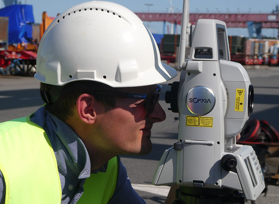
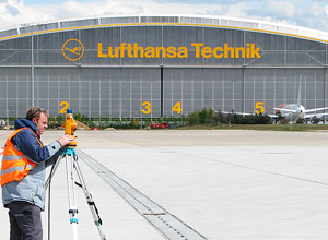
Land surveys and engineering surveys
- determination and definition of boundaries
- cadastral & land surveys
- plot & building set out
- topographical surveys
- industrial and construction surveys
- deformation surveys
- surveys for aviation (obstacles & topography)
- special precision GNSS/INS based surveys
- hydrographic surveys
Geo information / environmental monitoring
- GNSS/INS based mobile mapping and remote sensing
- acquisition and processing of data for land use and transportation planning
- detection of electromagnetic pollution (electrosmog) via measurement of high and low frequency field intensity
- determination of water quality (e.g. analysis of drinking water and groundwater)
Other services
- marine geodesy & geophysics
- airborne geodesy & geophysics
- precise positioning & navigation
- property valuation and land management
Cooperation / history
Outside of Germany, NDI-GeoSurvey teams up with the partner organization GRAVIONIC to offer technical services for the prospection and exploration for oil, gas and minerals. NDI-GeoSurvey and GRAVIONIC are both spin-off companies of the Institute of Flight Guidance and Control at the Technical University of Braunschweig, Germany. Due to this special background, our team has unique skills in the analysis, modeling and modification of dynamic systems (sensors, vehicles, aircraft, etc.).
We appreciate your interest in our services.


NDI-Vermessung
ÖbVI Ralf Heyen
Auf dem Anger 10
38110 Braunschweig
Phone: +49 531 26 25 18 4
Mobile: +49 172 8777183
E-Mail: info@ndi-vermessung.de